TAŞBALTA-ÇATILI HIKING TRAIL
The 12 km long trail is still used by local people between Taşbalta and Çatılı villages. Its 1100 meters high starting point in 1.2 km from Taşbalta. The trail goes through grasslands before stretching into a forest. It is followed by a steep climb onto the cliff to reach the 1470 meters high plateau where the Çatılı village is located. After crossing into the village, the trail ends up next to a cliff. The trail is categorized as "Medium" level. No water source is found on the road.
The mobile phone coverage of Turkcell, Vodaphone and Avea are normal along the road. However coverage is poor next at the bottom of the cliff next to the Çatılı village.
Please click here to see the route that goes from Siirt downtown to the beginning of Taşbalta-Çatılı Hiking Trail.
Details of the route
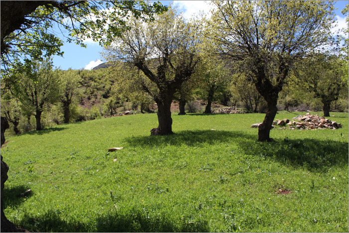
Starting at 1.2 km from Taşbalta village, the road goes through a sparsely wooded forest with grasslands.
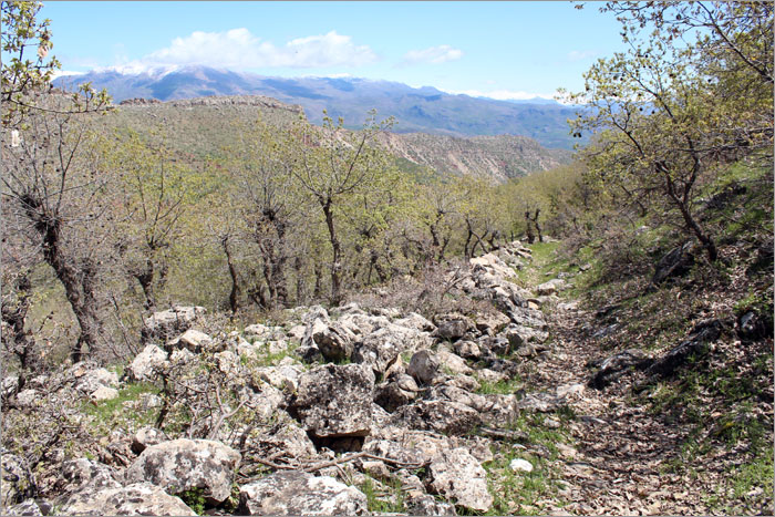
The trail becomes very distinct as it climbs on the sliff next to the Çatılı village.

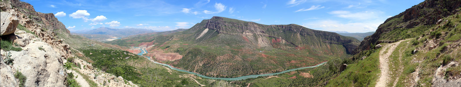
The plateau at the end of the trail is perfect for watching the mountains and Botan Valley.
