ERENLER HIKING TRAIL
Starting from the rice paddies, the trail is still regularly used by the local people of Çınarlısu village to go their fields. The 6.5 km long road starts from 670 meters altitude and becomes very distinct after the paddies are being passed. Getting steep, the trail climbs up to the rocky cliffs and ends up at 1000 meters altitude. The trail is categorized as "Advanced" level and a water source is found on the route.
The mobile phone coverage of Turkcell, Vodaphone and Avea is regular along the road.
Please click here to see the route that goes from Siirt downtown to the beginning of Erenler Hiking Trail.
Details of the route

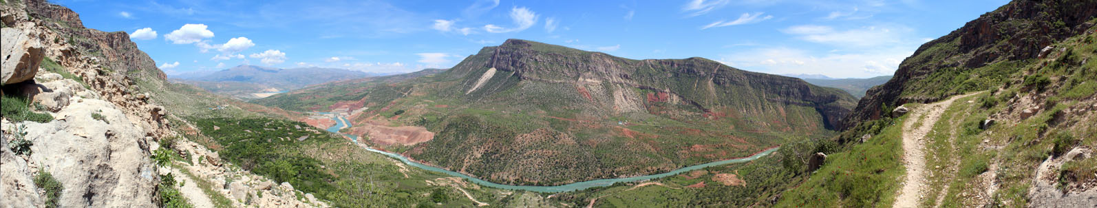
The route, which starts from the rice paddies located below Kale-Tillo, is very clear because it is regularly used by local people.
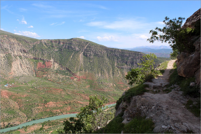
The spectacular views shows up as the trail climbs up to the rocky cliffs.
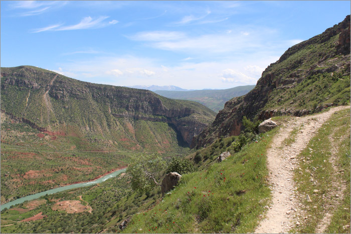
The trails becomes narrow especially when it gets close to the peak.
