
TAŞBALTA HIKING TRAIL
The length of the route, which starts from the south end of the Taşbalta village, is 9 km. Altitude of its starting point is 970 meters. As the first stage the earth road goes down to 800 meters altitude and ends up at 850 meters. This ending point is located on the ridge between Damlı and Taşbalta villages with a nice view of Alkumru Dam's reservoir. The route is categorized as "basic" and no water source is found on the road.
The mobile phone coverage of Turkcell, Vodaphone and Avea is weak along the road.
Please click here to see the route that goes from Siirt downtown to the beginning of Taşbalta Hiking Trail.
Details of the route

The route is actually made for vehicles as it is still used by the Taşbalta residents to visit their gardens. For this reason the route is suitable both for hiking and mountain biking.
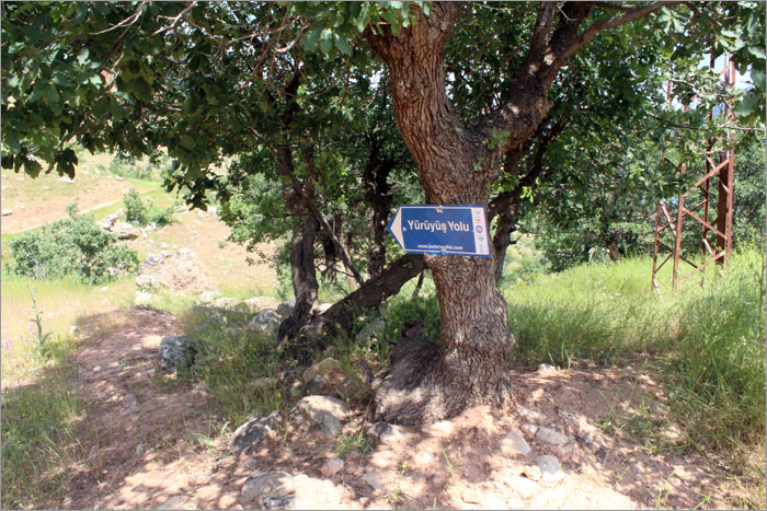
Signs are found on the route to ease the navigation.
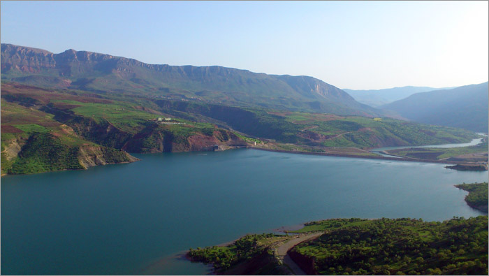
The route ends at the tip of a ridge between Taşbalta and Damlı villages, where the reservoir of Alkumru Dam is seen below.
